Geological Software Genesis
Resources estimation and modeling
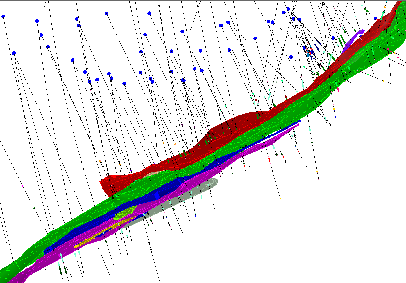
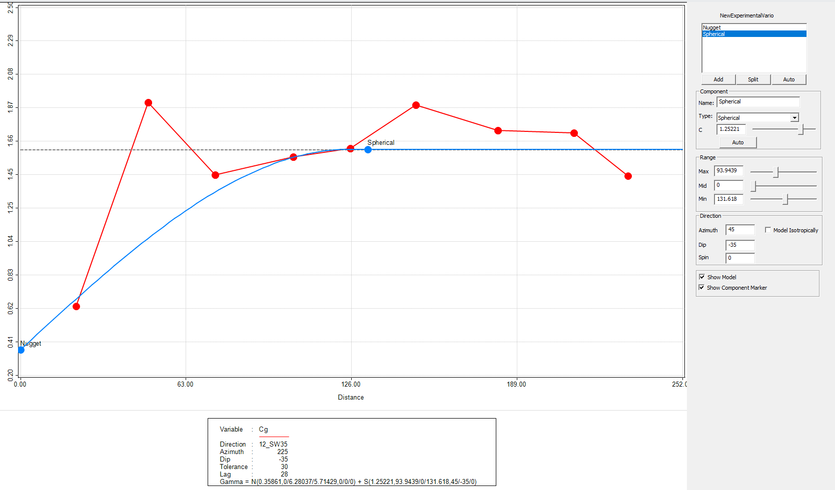
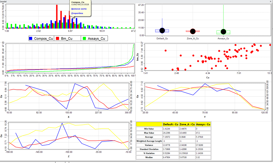
Genesis is a Geological resources estimation and modelling software.
It is the fruit of more than 30 years of expertise in software development for the modeling of mineral resources. Indeed, in 1981, SGS, formerly Gamma Geostat International Inc. was among the pioneers in computer based geostatistical methods and had created the first geological modeling software for first generation of supercomputers.
Acquired in 2008 by SGS Canada Inc., developing solutions was driven by a desire to offer performance at a competitive price. Used by SGS geologists, geological engineers and mining engineers, Genesis is a quality alternative to large and expensive software for geological modeling and mining estimation.
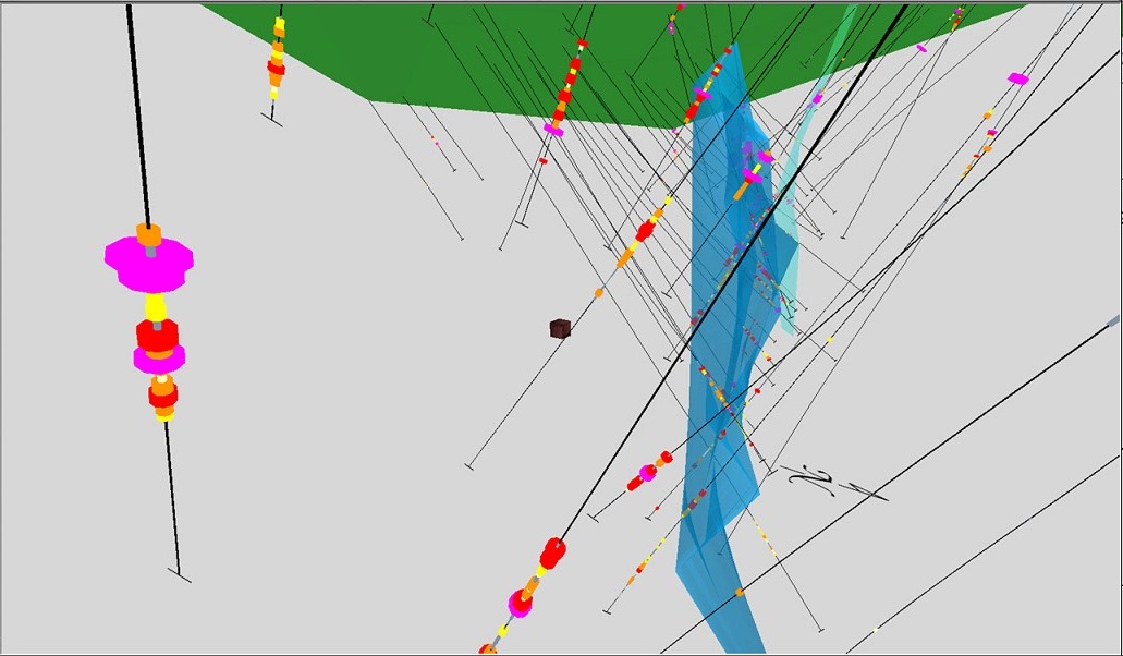
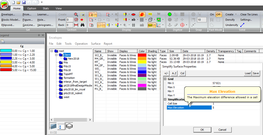
Including a modern 3D graphical interface with ribbon menus and floating panels, Genesis has come a long way since its predecessors SectCAD and BlockCAD while maintaining the qualities of user interface simplicity and workflow efficiency which have always been the strength of the SGS Geologicals Services software suite.
Our software, constantly evolving and every day more efficient, improves with you and for you.
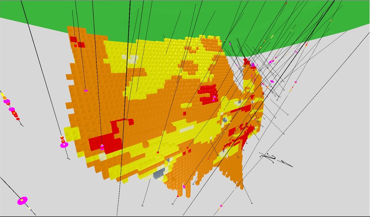
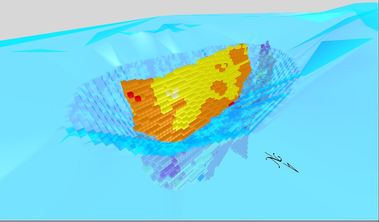
Block Model
- Estimation / classification
- Kriging
- Simulation
- Variable Ellipsoid
- Resource Report
- KNA
- MultiFolder

